During World War Two the British War Office produced a series of incredibly detailed maps of Ireland. These were to serve British forces in the event that they were to invade the former colony that had sent them packing twenty years earlier.
The British army donated these maps to the Irish defence forces long after the war. But most were destroyed in a fire in Kildare Barracks, some time in the early 2000s.
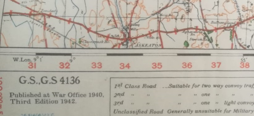
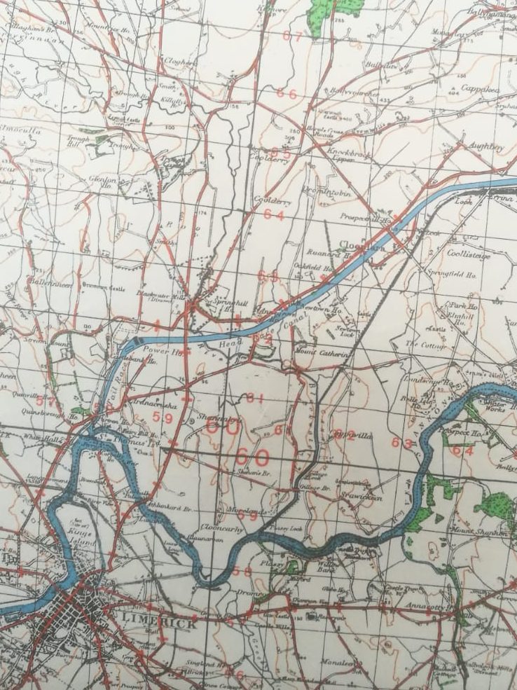
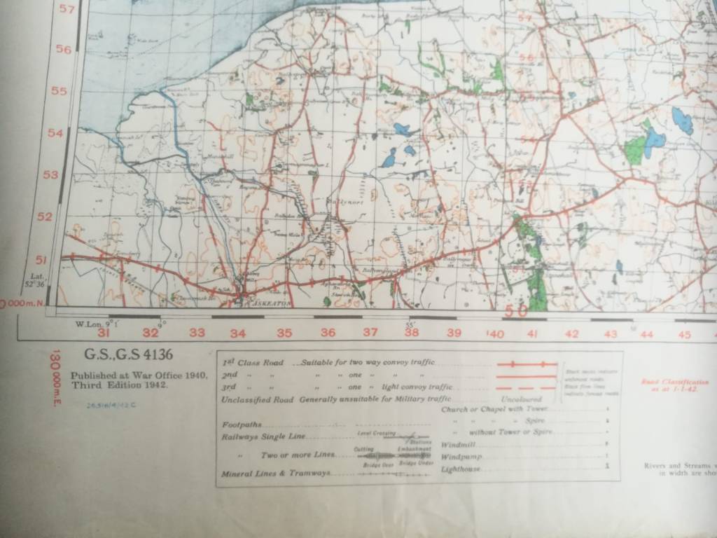
These maps cover the entire island and show every field and city block. The Irish army themselves did not possess such detailed maps. Such are the perks of being able to dispose of the revenues of a world-spanning empire. See the military details noted in the second image, below.
Of course, Britain had been in control of all Ireland until 1921. They would have possessed maps that were twenty years out of date. But the first image above includes the Shannon hydroelectric dam, which was built years after independence.
How, then, were these maps drawn up? My guess is, on the basis of old British army maps, updated with details supplied by spies on the ground or aerial photography.
In a few weeks I’ll be in a position to upload some better-quality images, so keep an eye out.
